Luciana Nieto, Ph.D
Agronomy
Remote Sensing
Predictive Agriculture

Use of remote sensing approaches for agricultural applications
Remote sensing is a technology that has been utilized extensively in agriculture due to its capacity to provide precise and detailed information on various aspects of agricultural production. Farmers and researchers have utilized this technology to gain valuable insights regarding, among other things, crop phenology, yield prediction, land classification, soil quality, water management, and environmental monitoring. The present dissertation is structured into six chapters, with the first serving as an introduction to remote sensing technology in agriculture and the last chapter offering concluding remarks. The remaining chapters delve into various applications of remote sensing technology in agriculture.

High-Cadence Earth Observation
For farmers, policymakers, and government agencies, it is critical to accurately define agricultural crop phenology and its spatial-temporal variability. At the moment, two approaches are utilized to report crop phenology. On one hand, land surface phenology provides information about the overall trend, whereas weekly reports from USDA-NASS provide information about the development of particular crops at the regional level. High-cadence earth observations might help to improve the accuracy of these estimations and bring more precise crop phenology classifications closer to what farmers demand.

Phenology classification
Integration of remote sensing with machine learning models has shown a great potential to improve crop classification and provide an in-season progress report for field crops.
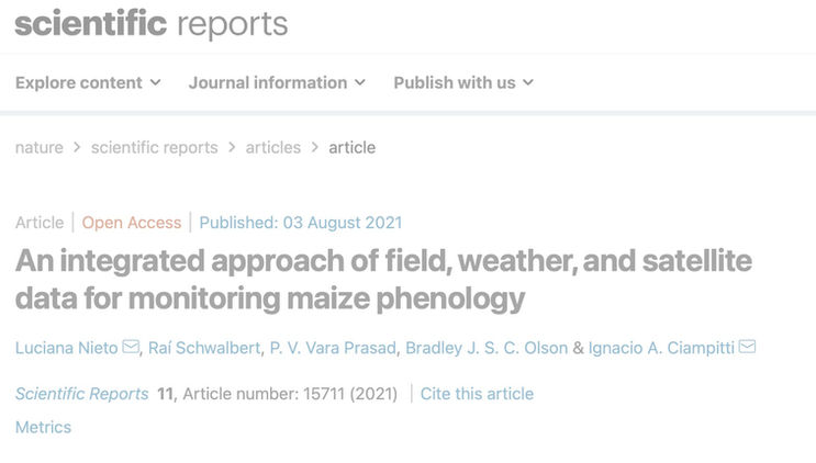
For this research, we focused on integrating ground-truth field data of maize crop phenology, satellite imagery (Landsat 8), and weather data.

Conservation Agriculture
Conservation agriculture (CA) is crucial for agricultural sustainability in the long term. The primary components are as follows: (i) no-till, (ii) cover residue, (iii) specific management practices and technology, and (iv) integrated crop health and nutrition planning.
Earth observation monitoring can assist in this endeavor by allowing for the mapping of crop cover and even residues, as well as providing information about various practices. While not many substantial differences between crop residues and soils that can be detected from satellites, characteristics such as surface, texture, water content, and soil organic matter (SOM) might provide valuable information to separate them.

